Sea Monsters and Terra Incognita: The Art of the Antique Map
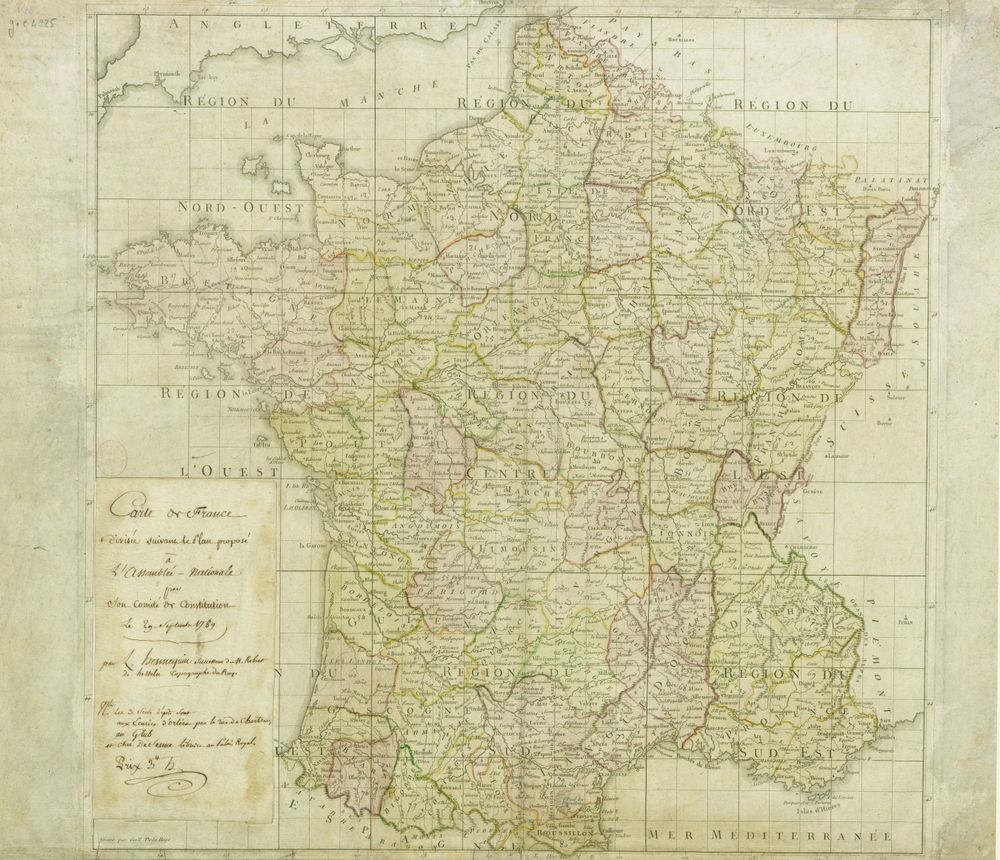
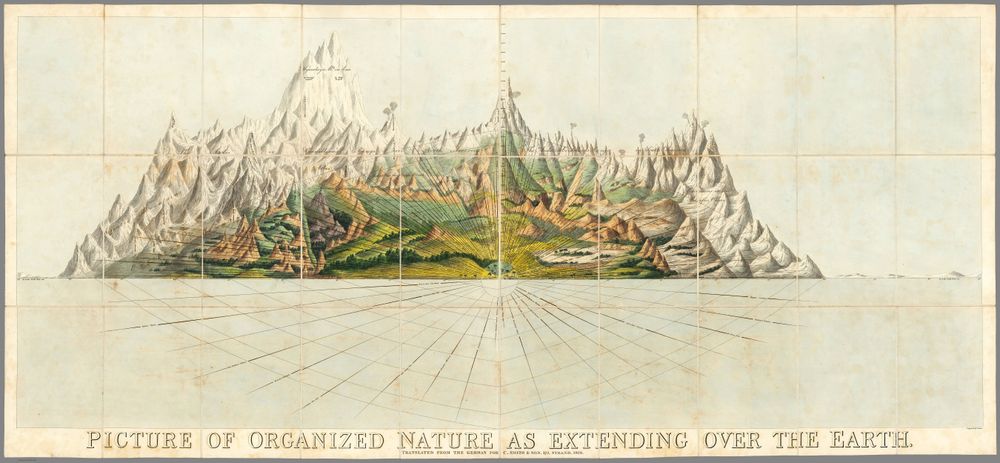
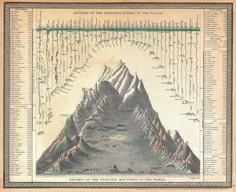
An antique map is a strange and wonderful object: part scientific instrument, part work of art, part window into how an earlier world imagined itself. Long before satellites, mapmakers filled the gaps in their knowledge with imagination — and the results are some of the most decorative prints ever made.
The golden age of Dutch cartography
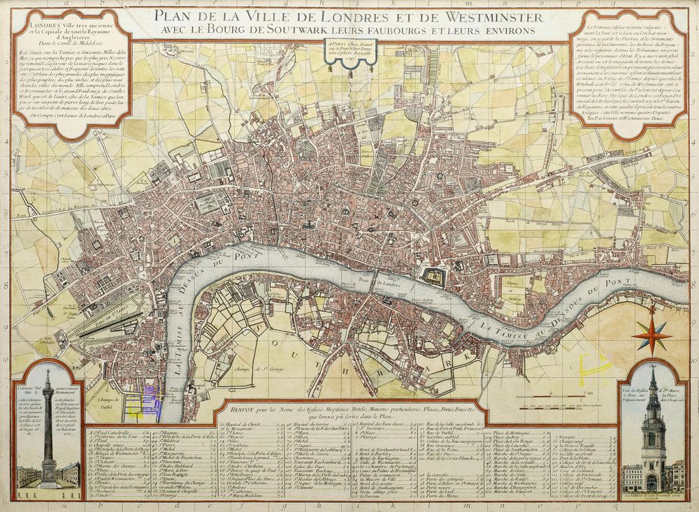
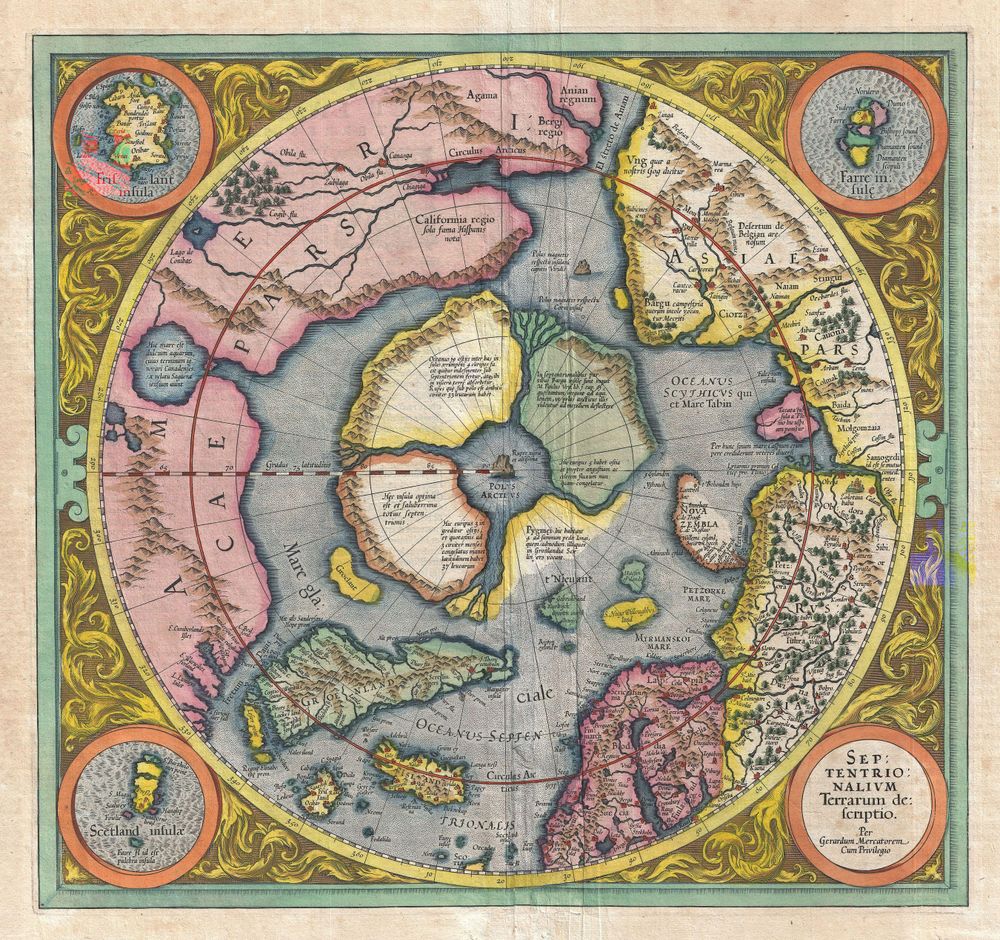
The 16th and 17th centuries were the high point of the decorative map. In Antwerp and Amsterdam, houses like Ortelius, Mercator and Blaeu produced atlases that were luxury goods as much as reference works. Their maps were engraved with elaborate cartouches, hand-coloured, and framed by allegorical figures, ships and coats of arms. Owning one announced that you were a person of the wider world.
Here be dragons
Where knowledge ran out, art took over. Unknown oceans teemed with sea monsters and spouting whales; unexplored interiors were labelled terra incognita and decorated with imagined beasts. These flourishes were not mere whimsy — they signalled the edge of the known and the thrill of what lay beyond. The famous phrase "here be dragons" captures the romance of the blank space on the map.
Why maps make such satisfying wall art
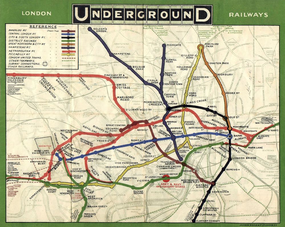
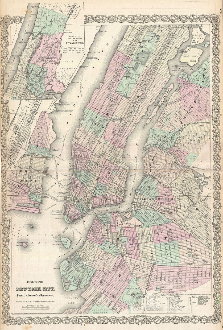
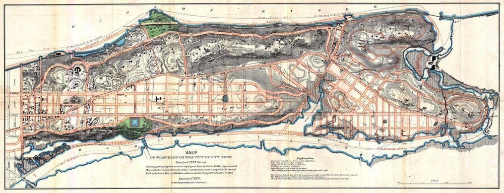
A good antique map rewards both the glance and the long look. Its overall composition is balanced and handsome from across the room; up close, it dissolves into a thousand tiny details — place names, rhumb lines, tiny ships. Whether it charts a city you love or a coastline that no longer exists, a vintage map turns a wall into an invitation to wander. In archival reproduction, every engraved line stays razor-sharp.