Colton Map of New York City Manhattan Brooklyn Long Island City Geographicus Newyorkcity Colton
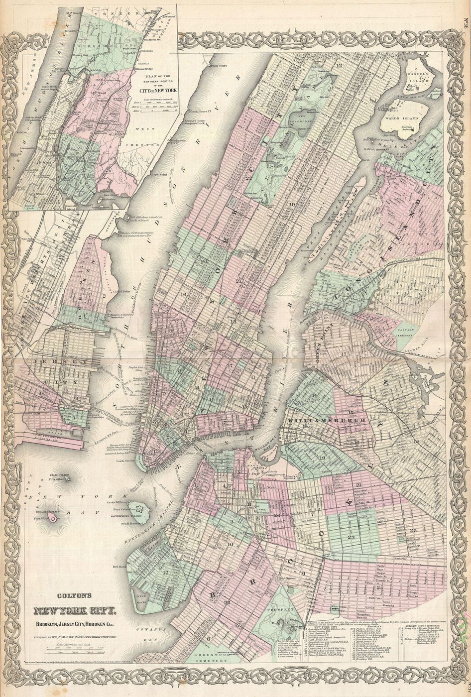
Buy this print on Etsy →A treasure for any lover of New York, this is Colton's antique map of New York City, taking in Manhattan, Brooklyn and Long Island City as they appeared in the nineteenth century. From the famous cartographic house of J. H. Colton, it shows the growing metropolis in beautiful engraved detail - the grid of streets, the wards and neighbourhoods, the piers along the rivers - all rendered in soft hand-tinted colours with the decorative flair that made Colton maps so prized.
The Colton firm was one of the great American mapmakers of the 1800s, and its maps of New York capture the city at a fascinating moment of explosive growth, before the five boroughs were even united. Tracing the old streets, ferry routes and shorelines is a delight - you can find familiar avenues, watch the city push outward, and glimpse a New York both recognisable and wonderfully changed.
The appeal of an antique city map is exactly that mix of the familiar and the historic, of usefulness and beauty. This one carries all the character of vintage cartography and a deep sense of place - a real piece of the city's story.
As wall art it is a fantastic conversation piece. The warm antique tones make it a natural for a study, home office or living room, an entryway or a gallery wall, and it suits classic, urban, academic and eclectic interiors alike. It is a perfect gift for New Yorkers, former residents, history buffs and anyone who loves the city or vintage maps, and it pairs beautifully with other antique city maps and views.
Because the original dates to the nineteenth century, it is firmly in the public domain, which is why we can reproduce it at full museum quality.
Each print is produced on premium 189 gsm museum-grade archival matte paper, faithfully capturing the fine engraved detail and warm vintage tones of the original map - ready to frame and enjoy for years to come.