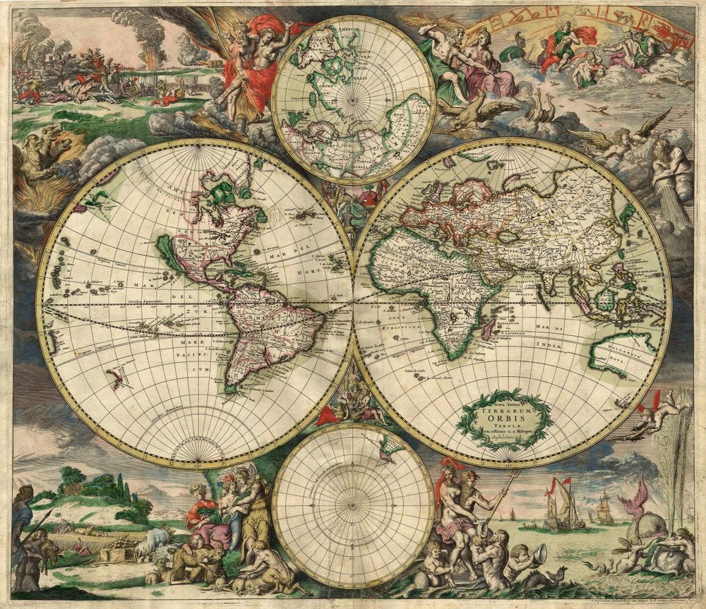
Antique Map World Map 1689
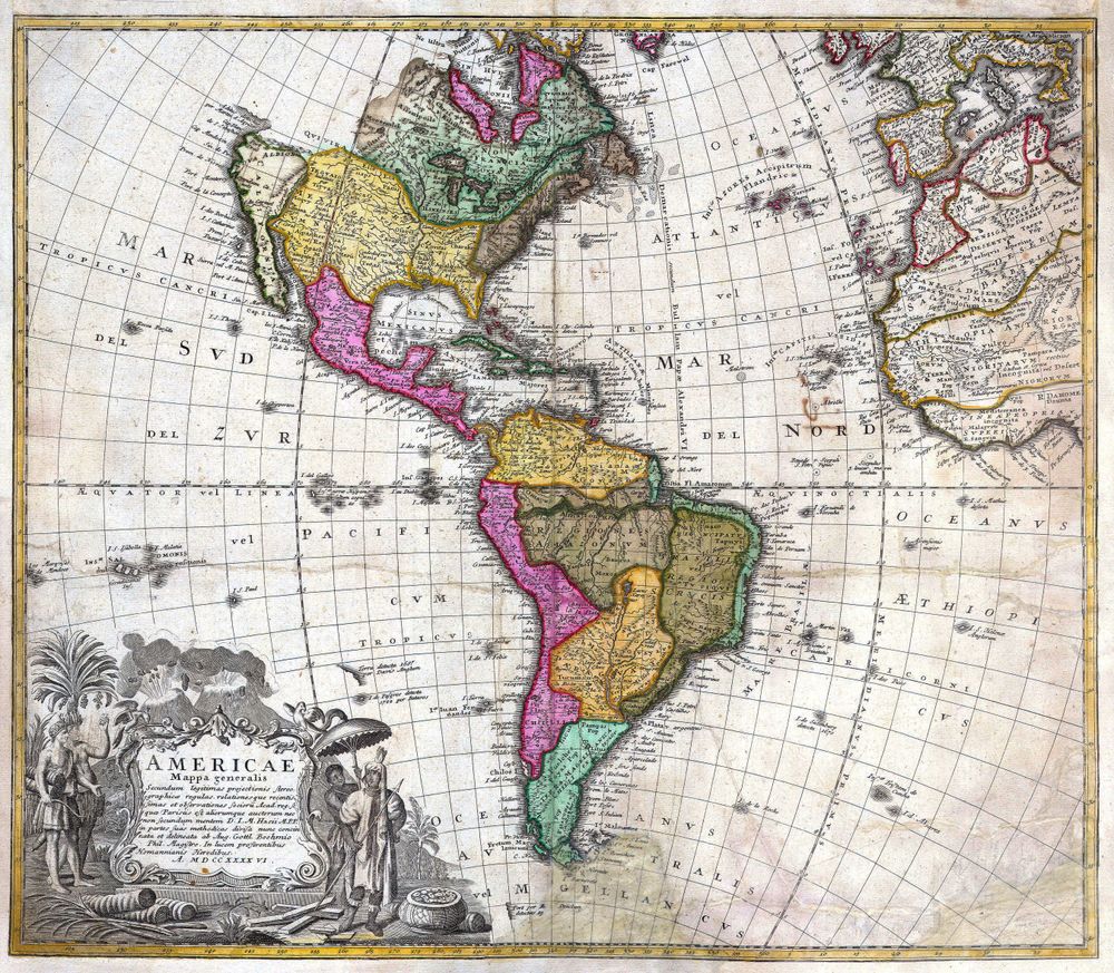
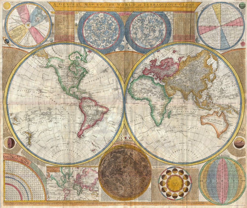
Buy this print on Etsy →The whole earth spreads across this 1689 world map, drawn in the grand double-hemisphere style that defined the mapmaking of the late seventeenth century. Two great circles hold the eastern and western halves of the globe side by side, oceans sweeping between coastlines that are firm and sure where explorers had sailed and boldly speculative where they had not. This was the age of the sea empires, when each returning voyage redrew the edges of the known world, and a world map was a proud statement of how much, and how little, humankind had charted.
Look closely and you can read the beliefs of the era in the ink itself. California may drift as an island, the great southern continent may loom half-imagined at the base of the map, and the interiors of far continents dissolve into open space awaiting discovery. It is copperplate engraving at its most ambitious, every graticule line, coastline, and flourish cut by hand into metal, with decorative cartouches and period hand coloring lending the sheet the richness of a Baroque masterwork. This is cartography as cosmology, an attempt to hold all creation on a single page.
Our reproduction brings that grandeur into the present on museum-grade 189gsm archival matte paper, printed with pigment inks so the fine engraved detail stays crisp and the antique tones stay warm and fade-resistant for years. The matte surface is glare-free and paper-soft, faithful to the character of an old chart. This is a fine-art reproduction created for display, not an original antique map.
Select from five sizes: 8x12, 12x18, 16x24, 20x30, and 24x36 inches. Every print ships rolled in a protective tube and arrives ready to frame however you like.
An old world map wall art piece like this brings sweep and wonder to a study, library, office, or living room. It is made for the collector of vintage cartography, the armchair explorer, and anyone who loves to trace the outlines of a world still being discovered. Hang it as a dramatic focal point above a desk or sofa, or make it the anchor of a gallery wall of historical map posters spanning eras and continents. Larger sizes turn a whole wall into a voyage; smaller ones bring quiet intrigue to a shelf or nook.
It is a memorable gift for the history buff, the globe-trotter, the teacher, or the dreamer who keeps a passport ready. This antique map poster carries the ambition and imagination of the seventeenth century into a modern room, a reminder that the map of the world was once an unfinished, thrilling work in progress.
Bring home the two hemispheres of 1689 and let the whole earth, gloriously half-known, spread across your wall as a daily invitation to wonder at how far exploration has come, and how much was still uncharted when this map was made.