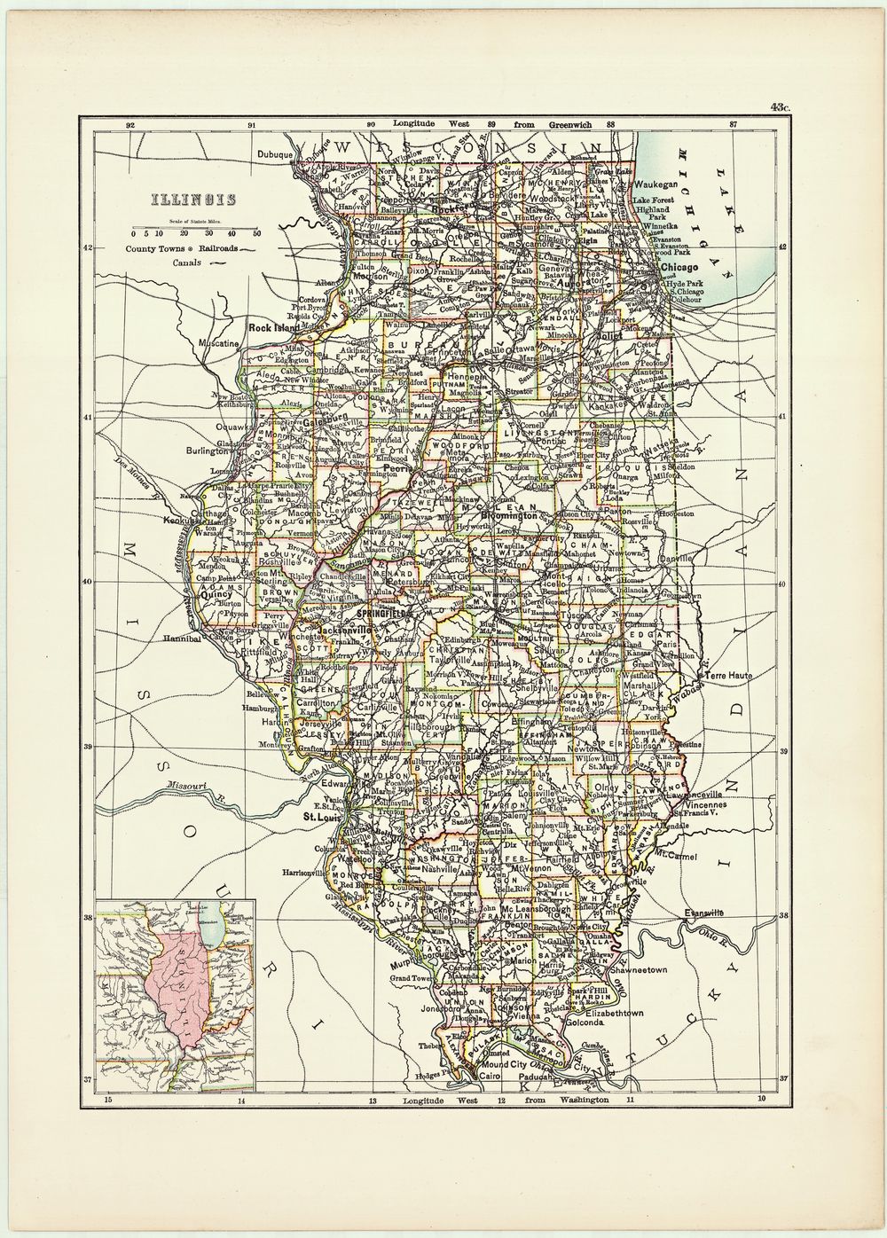
Illinois 1885
Buy this print on Etsy →A handsome piece of Americana, this is an antique map of the State of Illinois as it appeared in 1885. Its counties, cities, railroads and rivers are laid out in fine engraved detail and soft, hand-tinted colours, from Chicago on Lake Michigan to the farmland and river towns of the south, all framed with the elegant lettering and decorative flourishes of the golden age of American cartography.
Maps like this were produced as the American Midwest was booming, its railroads spreading and its towns multiplying, and they carry all the optimism and ambition of that era. Tracing the county lines, following the rail routes and reading the old place names is like stepping back in time - a detailed snapshot of the Prairie State at a particular, energetic moment in its history, drawn with real craftsmanship and pride.
The charm of an antique state map lies in exactly that blend of usefulness and beauty: it was made to inform, but it was also a decorative object to be treasured. The warm colours and intricate detail give it a timeless, scholarly appeal and a strong sense of place.
As wall art it is effortlessly classic. It is a natural for a study, home office or living room, an entryway or a gallery wall, and it suits traditional, farmhouse, academic and eclectic interiors alike. It is a wonderful, personal gift for Illinois natives and former residents, Chicagoans, history buffs and anyone who loves vintage maps, and it pairs beautifully with other antique state and city maps.
Because the original dates to 1885, it is firmly in the public domain, which is why we can reproduce it at full museum quality.
Each print is produced on premium 189 gsm museum-grade archival matte paper, faithfully capturing the fine engraved detail and warm vintage tones of the original map - ready to frame and enjoy for years to come.