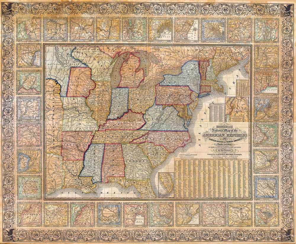
Antique Map 1845 Mitchell Wall Map of the United States Partial Republic of Texas 1845
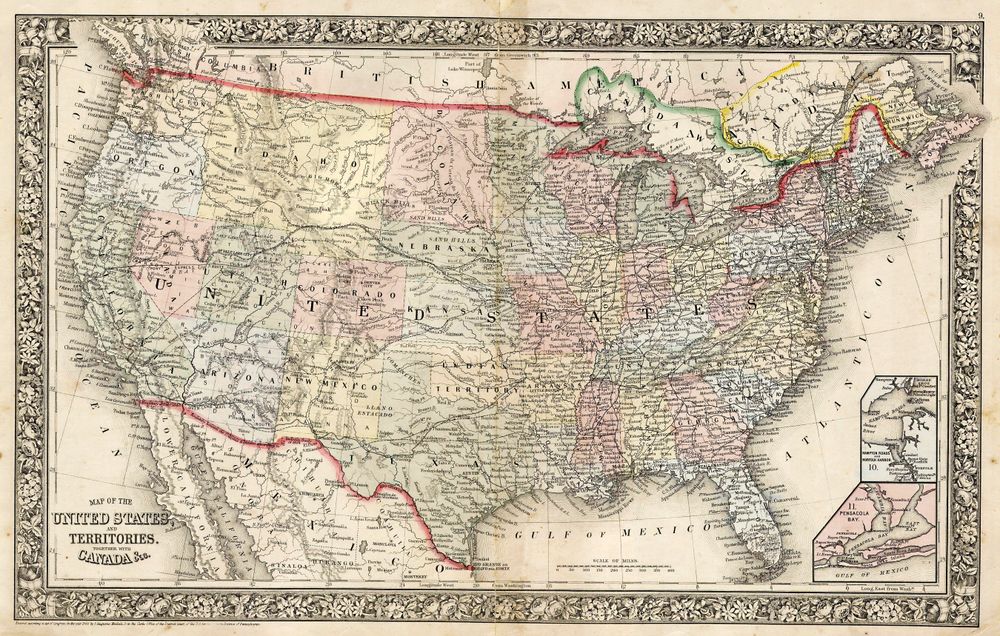
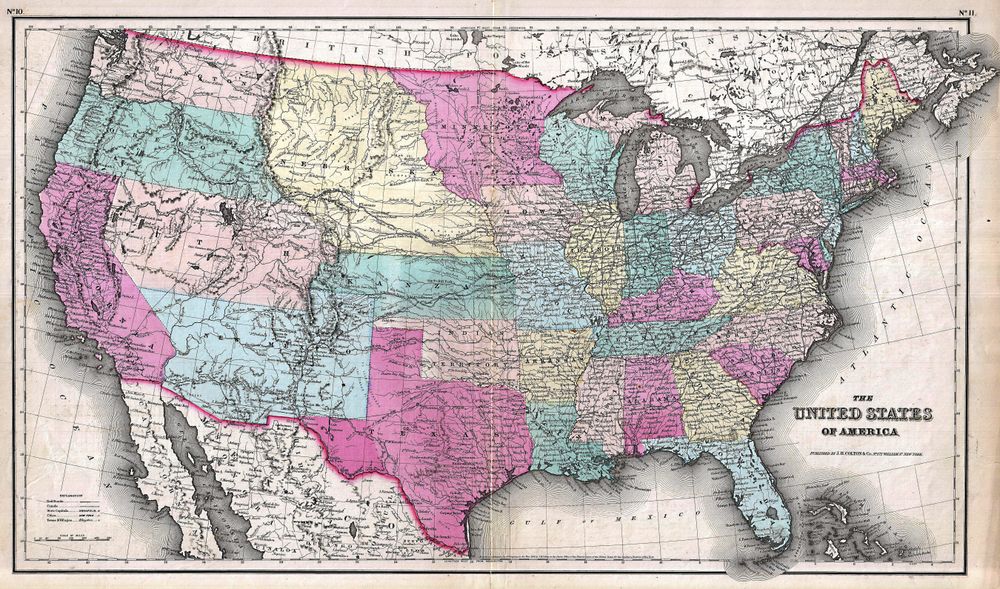
Buy this print on Etsy →This 1845 Mitchell wall map of the United States captures a fleeting and fascinating moment in American history, the year the map itself was already becoming out of date, with the Republic of Texas still shown in part as its own vast domain on the eve of joining the Union. Drawn in the bold, colorful Mitchell style, the map stretches across a continent in flux, its eastern states firmly settled and its western reaches broad and unfinished, the borders of Texas and the territories still being decided in real time.
That is what makes this map so compelling: it is a snapshot of the nation at a hinge of its story. Mid-nineteenth-century American cartography embraced rich color, ornate decorative borders, and dense, confident detail, and this sheet shows it all, with rivers, roads, settlements, and territorial lines set down in the optimistic spirit of Manifest Destiny. Period hand coloring gives each state and territory its own identity, and the patterned border frames the whole like a proud piece of the era's printwork. To read this map is to watch the United States in the very act of expanding.
Our reproduction preserves that character on museum-grade 189gsm archival matte paper, printed with pigment inks so the intricate borders and colored boundaries stay crisp and the antique tones stay true and fade-resistant for years. The matte surface is glare-free and paper-soft, faithful to the look of an original nineteenth-century wall map. This is a fine-art reproduction made for display, not an original antique map.
Five sizes are offered: 8x12, 12x18, 16x24, 20x30, and 24x36 inches. Each print ships rolled in a protective tube and arrives ready to frame however you prefer.
An antique map print like this brings history and conversation to a study, office, library, or living room, and a special resonance to any Texan or American home. It suits the collector of vintage cartography, the history enthusiast, and anyone who loves old world map wall art with a real story behind it. Hang it as a striking focal point, or build a gallery wall of historical map posters tracing the nation's growth. Larger sizes command a wall; smaller ones bring character to a shelf or hallway.
It is a memorable gift for the history lover, the proud Texan, the teacher, or the collector of Americana. This antique map poster carries the drama of 1845, and the last days of the Republic of Texas, into a modern room.
Bring home Mitchell's map of a changing nation and let the United States, mid-transformation with Texas still partly its own republic, spread across your wall, a vivid reminder of how quickly the young country was redrawing its own map and how much of its story was still unwritten.