Antique Map 1865 Spruner Map of the British Isles Britannia Hibernia 1865
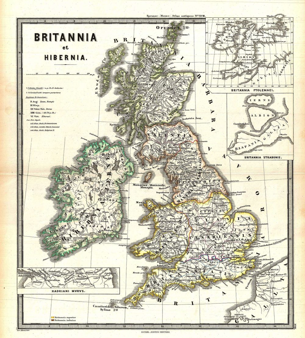
Buy this print on Etsy →Trace the ancient outlines of Britain and Ireland as the classical world imagined them in this 1865 map of the British Isles, drawn in the tradition of historical atlas scholarship that revived the old Roman names Britannia and Hibernia. Here the familiar coasts of England, Scotland, Wales, and Ireland are set within a framework of antique geography, where provinces, tribal territories, and Latinized place names recall an age when these islands sat at the far edge of the known world. It is a map that looks backward in time even as it was engraved, blending nineteenth-century precision with the romance of antiquity, and inviting the viewer to see a well-known landscape through much older eyes.
Maps of this kind belong to the golden era of the historical atlas, when scholars reconstructed the geography of past civilizations for students, libraries, and gentlemen's studies. Fine engraved linework defines rivers, mountains, and shorelines, while carefully lettered labels layer classical and later names across the same terrain. The restrained palette and elegant typography reflect the disciplined cartography of the mid-Victorian period, a time when mapmaking bridged rigorous science and the deep human fascination with history. Coastal indentations, offshore islands, and inland ranges are all set down with the patient accuracy that made this the great age of scholarly reference.
This is a fine-art reproduction printed on museum-grade 189gsm archival matte paper using pigment inks, chosen to render every hair-thin coastline, place name, and border with clarity and depth. The matte surface holds rich, stable tones without glare, honoring the character of antique cartography while offering the longevity of modern archival materials. It is not an original antique map, but a faithful and lasting tribute to one. Each poster ships rolled and ready to frame, and is offered in five sizes: 8x12, 12x18, 16x24, 20x30, and 24x36 inches, so it can suit anything from a modest nook to a commanding feature wall.
An antique map print like this brings a quiet sense of scholarship to a study, home office, or library, where its layered history rewards a closer look. It suits the wall above a reading chair, a paneled hallway, or a curated gallery wall of vintage cartography. For anyone drawn to British and Irish heritage, ancient history, or old world map wall art, it makes a thoughtful and enduring gift for birthdays, housewarmings, or holidays. Framed simply in wood or black, this historical map poster settles naturally into traditional and contemporary rooms alike.
Hang it where its story can unfold slowly, and this vintage cartography print becomes more than decoration: a window onto how one age chose to picture another, and a lasting piece of old world map wall art for the curious and the well-read. Few decorative choices carry such quiet weight, blending the beauty of vintage cartography with the satisfaction of genuine history, and few age so gracefully on the wall of a home that values both.