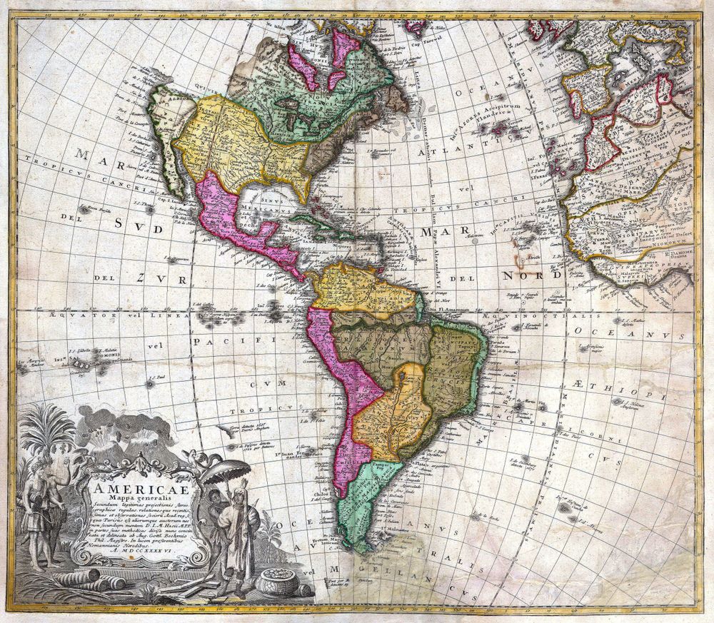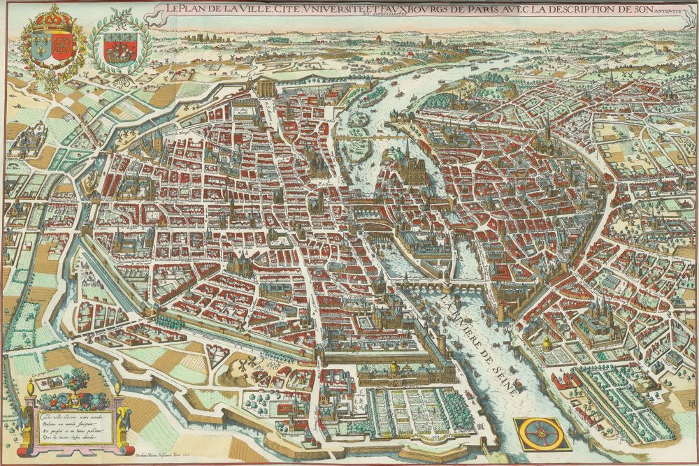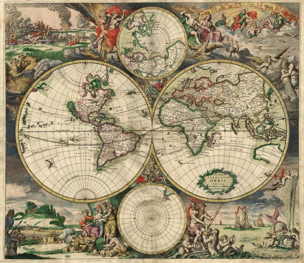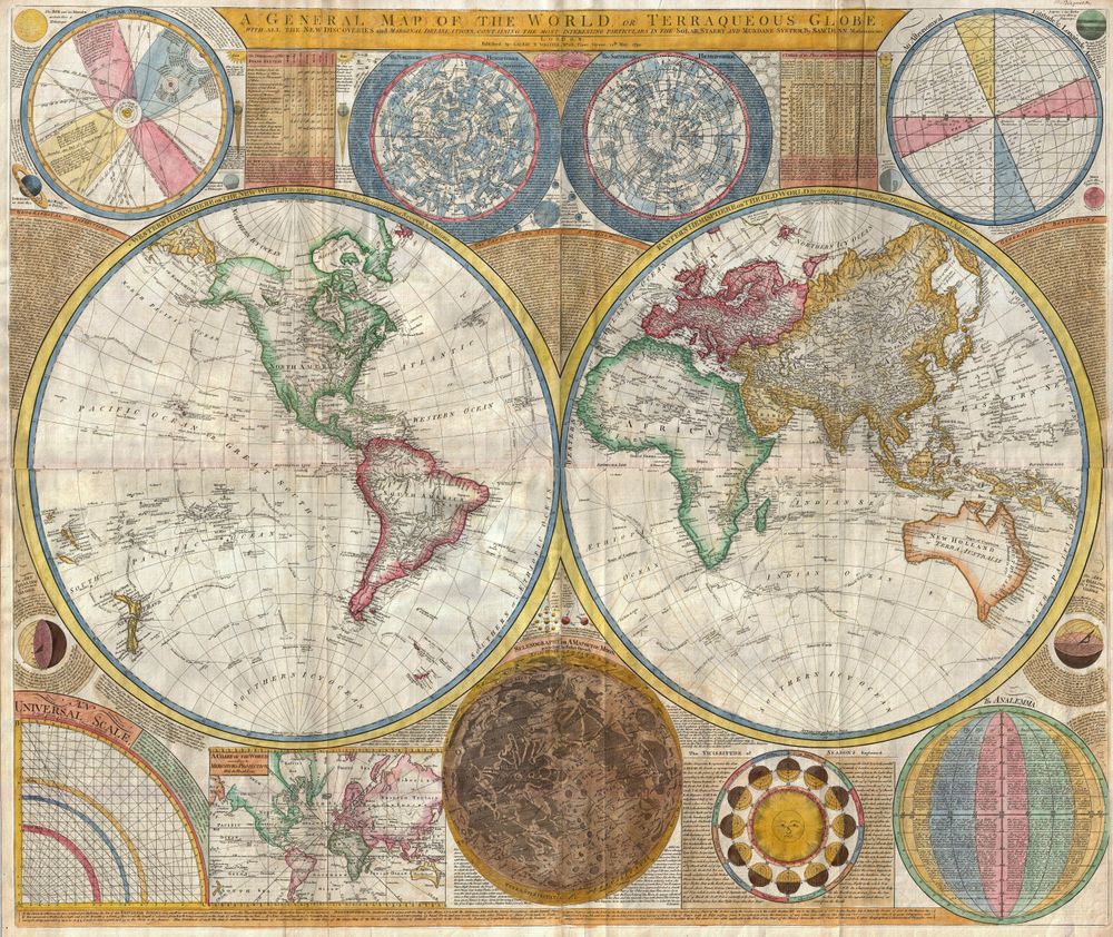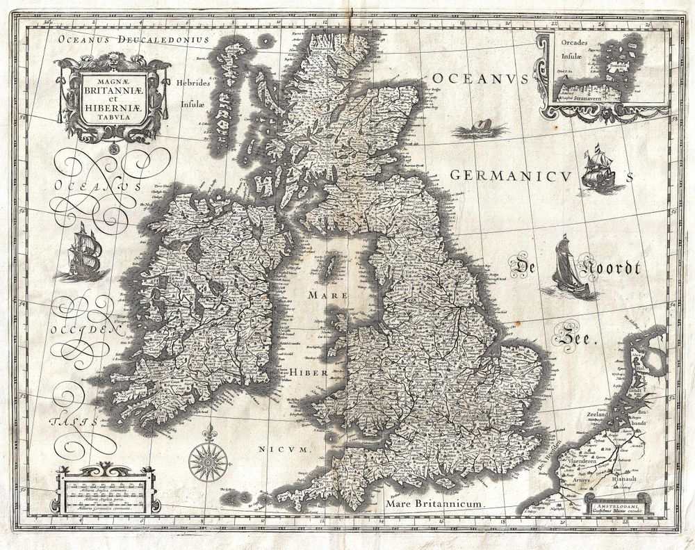
Antique Map 1631 Blaeu Map of the British Isles England Scotland Ireland Geographicus Britanniaehiberniae Blaeu 1631
Buy this print on Etsy →Step into the great age of Dutch cartography with this 1631 map of the British Isles by the celebrated house of Blaeu, picturing England, Scotland, and Ireland together as Britannia and Hibernia. This is mapmaking at its most magnificent: the islands drawn with authority and grace, their coastlines alive with engraved detail, the surrounding seas often stirred by sailing ships and sea creatures in the exuberant manner of the Golden Age. Ornamental cartouches and finely lettered titles frame the geography, announcing a map meant to inform and to dazzle in equal measure, a treasure of the seventeenth-century atlas.
The Blaeu workshop of Amsterdam stood at the summit of seventeenth-century cartography, and maps of the British Isles from this era show why. Engraved on copperplate and often heightened with vivid hand coloring, they combine rigorous geography with lavish decoration: strapwork borders, allegorical figures, and bold heraldic flourishes. Counties and towns are named in careful script, rivers and hills shaded with skilled linework, the whole sheet radiating the confidence of a period when Dutch mapmakers charted a rapidly expanding world. Coastlines, firths, and offshore isles are set down with a precision remarkable for its time, the product of the finest engravers in Europe.
This is a fine-art reproduction printed on museum-grade 189gsm archival matte paper with pigment inks, chosen to capture the density of engraved line and the warm character of an antique sheet. The matte finish reads like fine paper rather than glass, glare-free and rich, while the archival inks ensure the image endures. It is not an original antique map, but a faithful homage to a seventeenth-century masterpiece. Each poster ships rolled and ready to frame, offered in five sizes: 8x12, 12x18, 16x24, 20x30, and 24x36 inches, scaling from a refined accent to a truly commanding centerpiece.
As old world map wall art, a Blaeu-style map brings drama and history to a study, library, dining room, or office, holding its own as a centerpiece above a mantel or desk. Its ornament suits traditional interiors yet contrasts strikingly against clean modern walls. For collectors of vintage cartography, admirers of British and Irish heritage, or anyone who loves the romance of old maps, it makes an unforgettable gift for weddings, milestone birthdays, or a cherished home. A wide dark frame amplifies its grandeur.
Hang it where its detail can be explored again and again, and this antique map print becomes a lasting conversation piece, a distinguished historical map poster that carries the splendor of the Dutch Golden Age into any room and rewards a lifetime of second looks. From its ornamental cartouches to its sea-swept margins, every inch invites study, making this vintage cartography print as much a work of art as a record of geography, and a magnificent anchor for any wall devoted to old world map wall art.