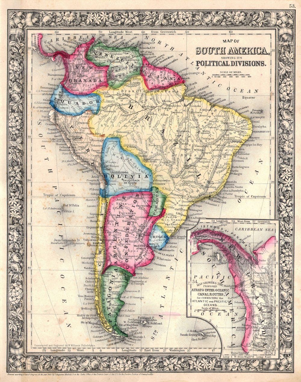
Antique Map America 1864 Mitchell Map of South America Geographicus Southamerica Mitchell 1864
Buy this print on Etsy →The full sweep of a continent unfolds in this 1864 map of South America, drawn in the confident cartographic style of the mid-nineteenth century when the interior of the Andes and Amazon was still being charted. From the isthmus in the north to the tapering coasts of Patagonia in the south, the map traces the young republics that had emerged after independence, their borders, rivers, and mountain ranges laid out with the clarity of an atlas made for a rapidly modernizing world. The Amazon spreads its tributaries across the heart of the sheet, the Andes run like a spine down the western edge, and coastal cities anchor the continent's dramatic outline from Colombia to Cape Horn.
Maps of South America from this period reflect the practical, information-rich cartography of Victorian atlas publishing. Engraved with precise linework and finished with soft outline color to separate nations and provinces, they name capitals, ports, and river systems in tidy type, often noting political boundaries that were still shifting. The style favors legibility and scope, a document meant to make an entire continent comprehensible at a glance to students, merchants, and curious readers alike. Great lakes, highland ranges, and the vast river basins are rendered with a care that turns raw geography into an inviting, readable whole.
This is a fine-art reproduction printed on museum-grade 189gsm archival matte paper using pigment inks, selected to render the fine geographic detail and gentle period coloring with accuracy and depth. The matte surface offers a soft, glare-free finish true to an antique atlas page, while the archival inks keep the colors stable for years to come. It is not an original antique map, but a lasting reproduction of one. Each poster ships rolled and ready to frame, available in five sizes: 8x12, 12x18, 16x24, 20x30, and 24x36 inches, suited to a small study or a broad, map-filled feature wall.
As antique map wall art, this South America print brings a sense of exploration to a study, office, library, or living room, and speaks especially to those with ties to Latin America or a love of travel. It stands beautifully alone or within a gallery wall of old world map prints spanning the globe. For the wanderer, the historian, or the map collector, it is a thoughtful and evocative gift for a housewarming, graduation, or bon voyage. A slim natural-wood or black frame keeps the focus on its geography.
Give it a prominent wall and this vintage cartography print becomes a daily invitation to explore, a handsome historical map poster tracing the shape of a continent as the nineteenth century knew it, and a striking piece of old world map wall art. Its blend of scientific clarity and antique charm makes it a rare thing, a decorative piece that also teaches, and a vintage cartography print that draws the eye back again and again to the mountains, rivers, and coasts of South America.