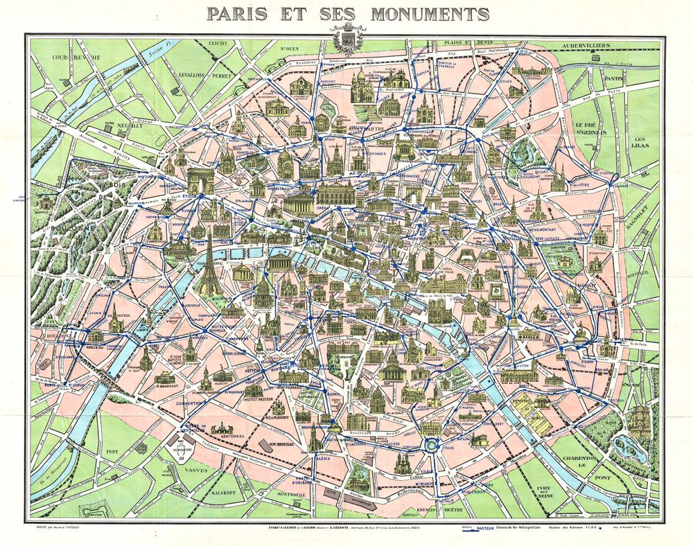
Map of Paris W Monuments
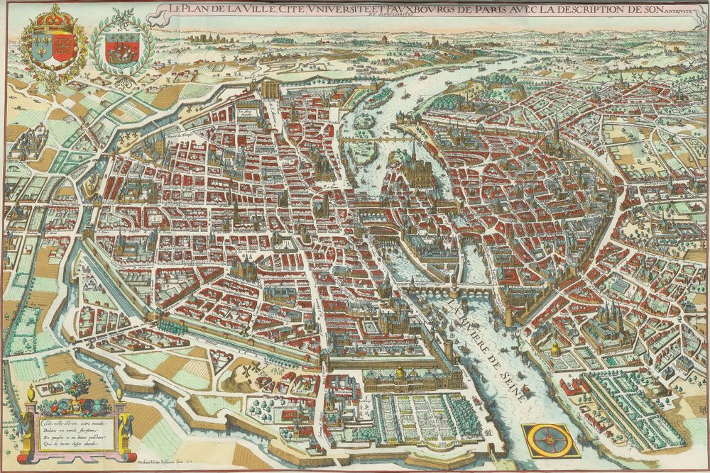
Buy this print on Etsy →A beautiful antique map of Paris, this print traces the streets, bridges and great monuments of the City of Light as they appeared in a bygone age. The Seine winds through the heart of the city, its islands and quays picked out in fine engraved detail, while the landmarks that make Paris unmistakable - its cathedrals, palaces and squares - are lovingly rendered. It is part navigational document, part work of art, and wholly romantic.
Maps like this belong to the grand tradition of European cartography, when charting a city was as much an act of civic pride and artistry as of geography. Every avenue and monument was drawn by hand and engraved with painstaking care, producing sheets that were treasured as decorative objects in their own right. To read one is to walk the old city in your imagination, tracing routes past the Louvre, Notre-Dame and the Tuileries.
Paris, of course, needs no introduction - the capital of art, romance and revolution, and one of the most walked, painted and dreamed-about cities on earth. An antique plan of its streets carries all of that history and longing, a keepsake for anyone who has strolled its boulevards or hopes to.
As wall art it is effortlessly elegant. The intricate detail and warm antique tones make it a natural for a study, home office or library, a hallway or living room, and it suits classic, travel-inspired, academic and eclectic interiors alike. It is a wonderful gift for Francophiles, travellers, honeymooners and anyone who loves Paris or vintage maps, and it pairs beautifully with other antique city maps and travel prints.
Because the original dates to an antique edition now in the public domain, we are able to reproduce it at full museum quality.
Each print is produced on premium 189 gsm museum-grade archival matte paper, faithfully capturing the fine engraved line and warm vintage tones of the original map - ready to frame and enjoy for years to come.