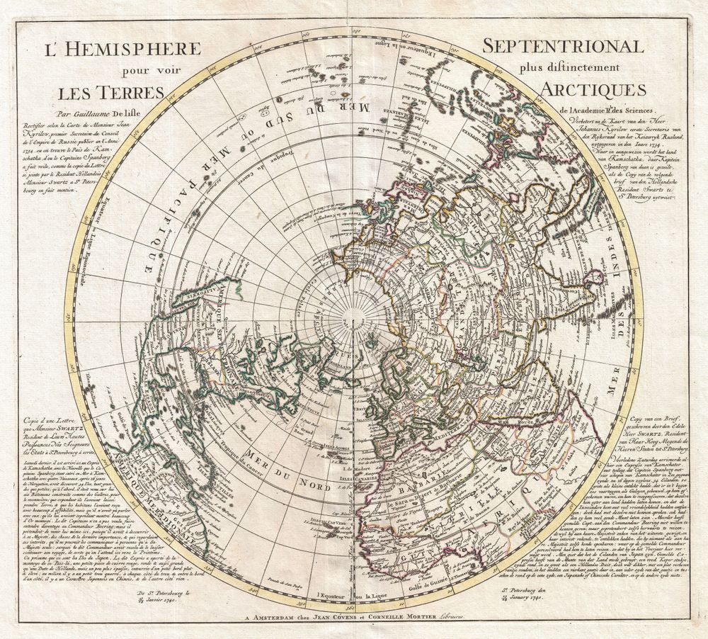
Pole 1741 Covens and Mortier Map of the Northern Hemisphere North Pole Arctic
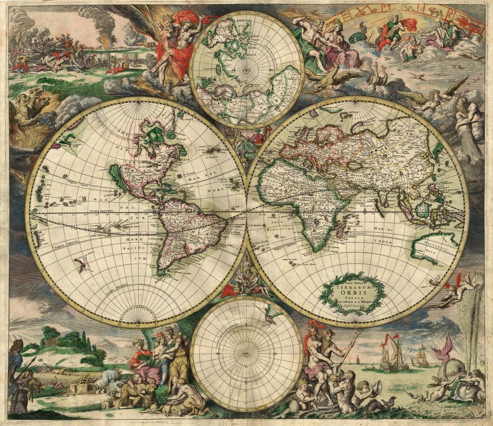
Buy this print on Etsy →A magnificent antique map of the top of the world, this is Covens and Mortier's 1741 map of the Northern Hemisphere and the North Pole - a beautiful example of Dutch golden-age cartography. Centred on the Arctic, it shows the northern reaches of the globe in a great circle, the coastlines of Europe, Asia and North America radiating outward, all rendered in fine engraved detail and finished with decorative borders, cartouches and the elegant lettering of the period.
The Amsterdam firm of Covens and Mortier was one of the most prolific and respected mapmaking houses of the eighteenth century, heirs to the great Dutch tradition of cartography. A polar projection like this one was both a scientific document and a work of art, capturing how the geographers of 1741 understood - and where they still guessed at - the icy, half-explored regions of the far north. Tracing the known coastlines against the blank spaces of the unknown is endlessly fascinating.
That blend of real cartographic skill and the romance of the unexplored is the map's enduring appeal. It reads as both a serious historical treasure and a striking, decorative piece of art from the great age of exploration.
As wall art it is a spectacular talking point. The intricate detail and warm antique tones make it a natural for a study, home office or library, a living room or a gallery wall, and it suits classic, nautical, academic and eclectic interiors. It is a wonderful gift for map lovers, historians, explorers and anyone drawn to the romance of the Age of Discovery, and it pairs beautifully with other antique maps and celestial charts.
Because the original dates to 1741, it is firmly in the public domain, which is why we can reproduce it at full museum quality.
Each print is produced on premium 189 gsm museum-grade archival matte paper, faithfully capturing the fine engraved detail and warm antique tones of the original map - ready to frame and enjoy for years to come.