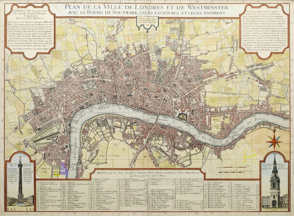
Antique Map 1727 London Map by Danet 1727
Buy this print on Etsy →Step into the London of Danet's 1727 map, a portrait of the English capital as the eighteenth century found it, rebuilt and expanding after the Great Fire and pushing outward along the Thames. This early Georgian plan lays out the city's streets, squares, and riverfront with the ordered clarity of the period, tracing the tangle of the old walled city beside the newer, more regular developments spreading west. It is a vision of London on the rise, a bustling port and capital drawn with pride and precision. Produced in the tradition of Danet, a French map publisher of the early 1700s, this plan belongs to the golden age of copperplate engraving, when European workshops cut every street, label, and ornamental flourish by hand into a metal plate. Bridges arc across the Thames, gardens and open ground are carefully shaded, and a decorative cartouche frames the title in the elegant manner of the age. The blend of practical detail and artistic finish is the hallmark of early modern cartography, a document meant to inform and impress in equal measure, and today it reads as a beautiful window onto a vanished city. Our print is a faithful fine-art reproduction, not an original antique map. It is produced on museum-grade 189gsm archival matte paper using pigment inks, so the fine engraved lines, delicate lettering, and warm period tones are rendered with clarity and depth. The matte surface resists glare and looks rich under natural or artificial light, while the archival paper and pigment inks are chosen to resist fading for years to come. Each poster ships rolled in protective packaging, uncreased and ready to frame in the size you choose. Five sizes are offered, from an intimate 8x12 inches to a commanding 24x36 inches, with 12x18, 16x24, and 20x30 in between. Smaller prints bring quiet elegance to a study nook, hallway, or bookshelf, while the larger sizes anchor a library, office, or living room with the gravity of an old chart. This map makes a wonderful gift for Londoners, Anglophiles, history lovers, and anyone drawn to the eighteenth-century city, offering the quiet pleasure of tracing familiar streets and riverbanks as they looked nearly three centuries ago. As antique map wall art, this Georgian London plan works beautifully on its own or within a gallery wall of vintage cartography and old world map prints. Pair it with other historical map posters or classic interiors for a refined, storied atmosphere. Whether you love the history of London or simply the artistry of hand-engraved maps, this old map print carries the character of a great city in every line. Bring home a piece of Georgian London and let this vintage cartography enrich your walls with beauty and history.